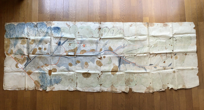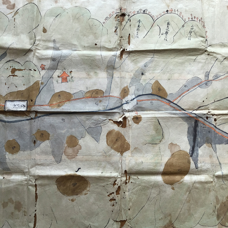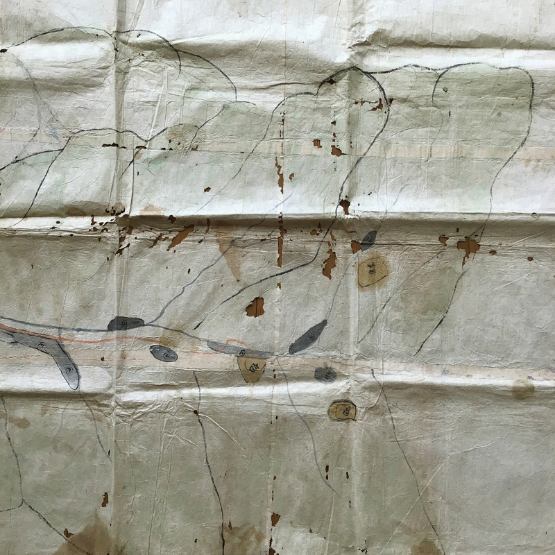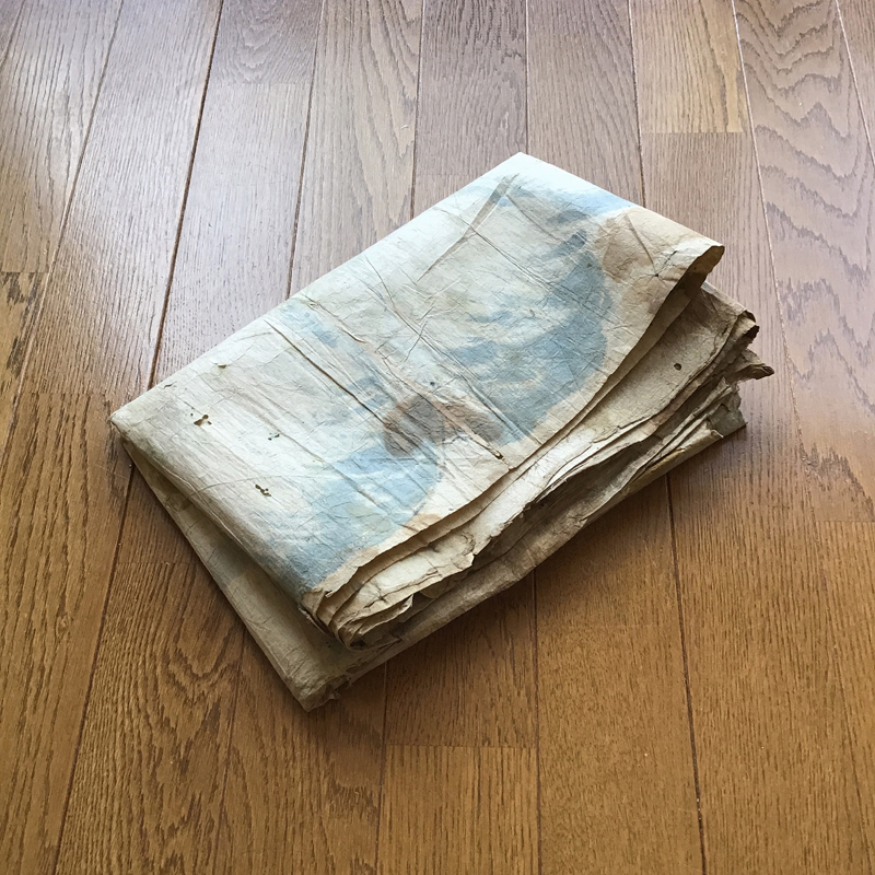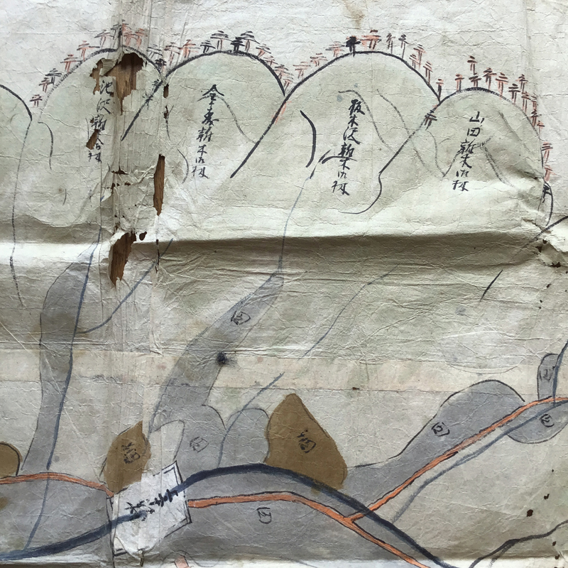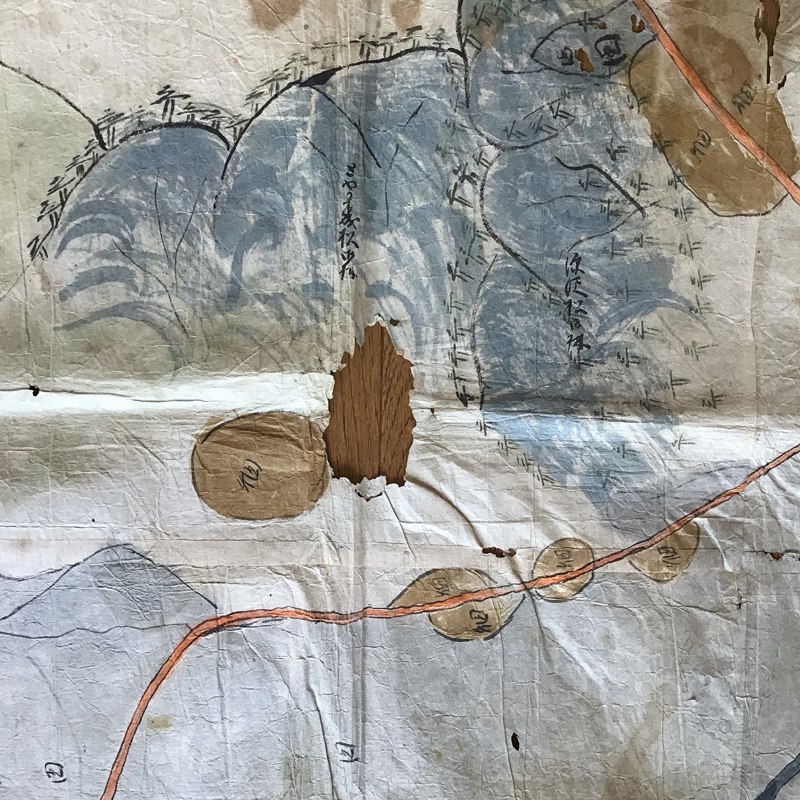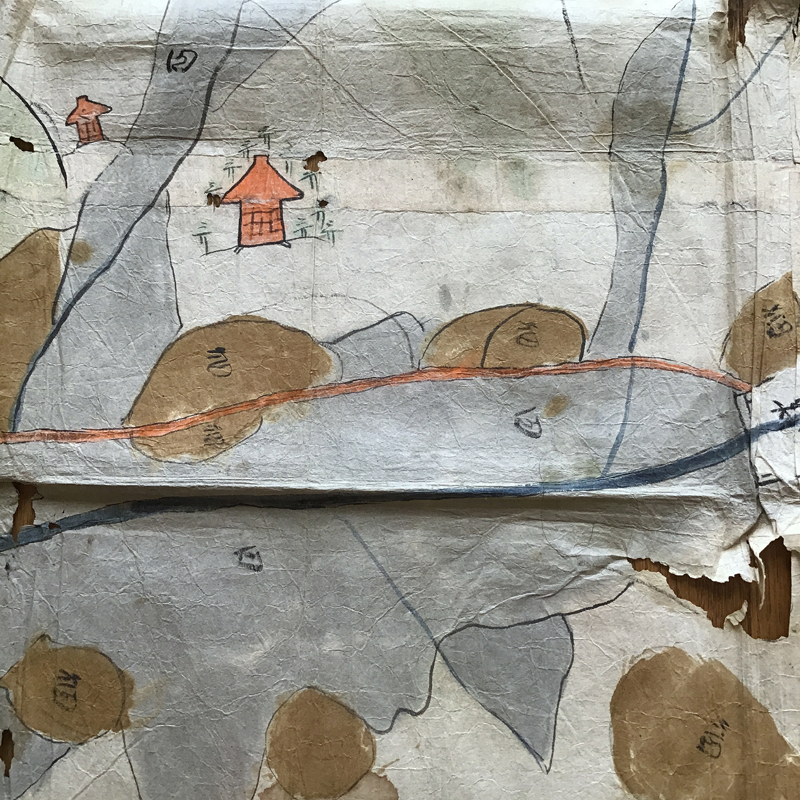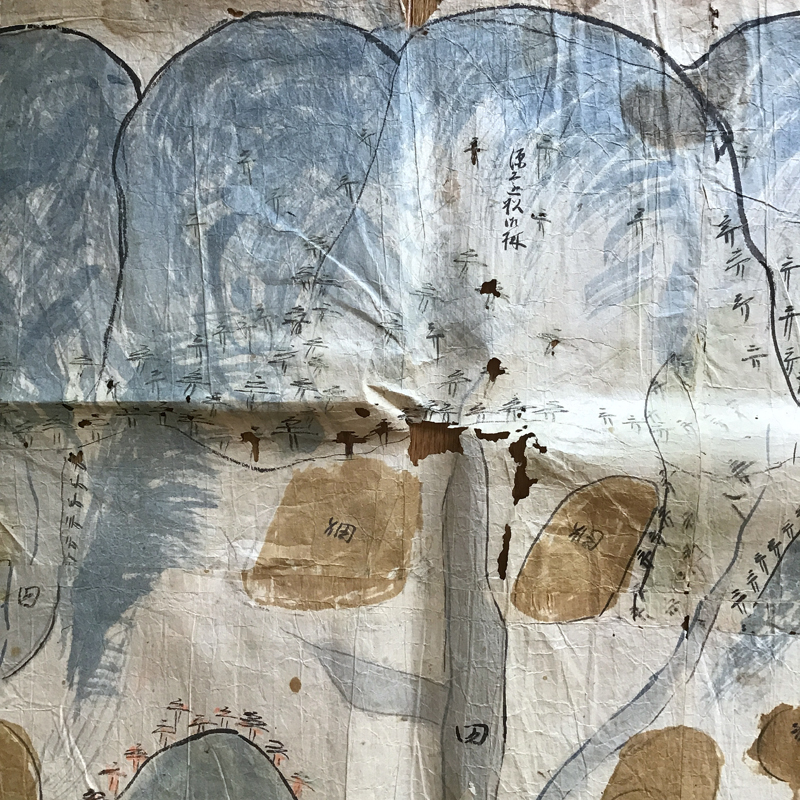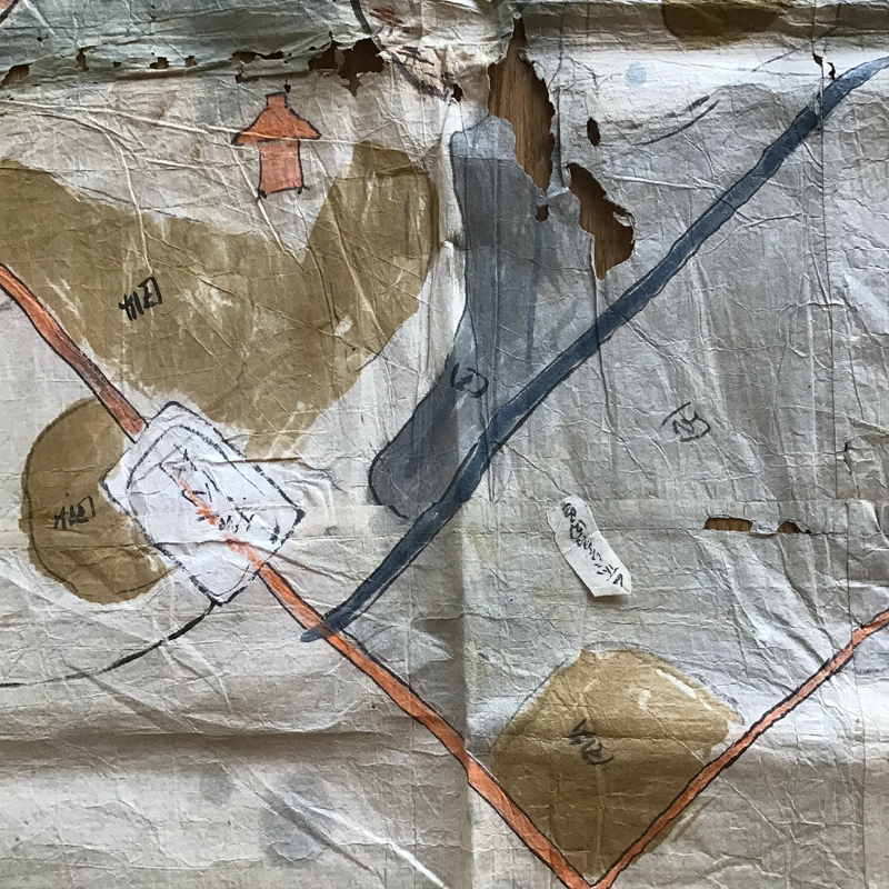
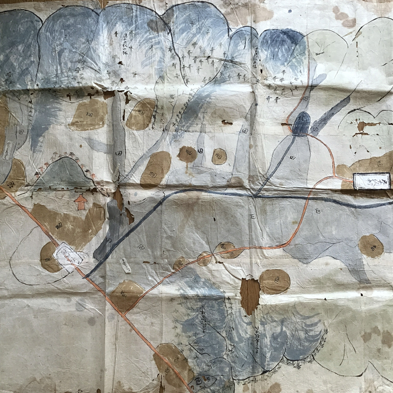
OLD BIG RURAL MAP (Dealer: hotoke) – A rare find of Japanese Edo period’s (18-19th century) primitive hand-painted map with blue river flowing, encoded orange temples/shrines, and plentiful encoded rice fields and farms in light blue and brown sections surrounded by the rich mountains in Isazawa village (Present Obanazawa city, Yamagata prefecture), approx. 233 x 82.5 cm (91.73 x 32.48in). Creases, stains, holes, and rips due to aging as is as seen. Free shipping.
Item price: $500
#08398
We reply to you within 48 hours.
Please check your junk mail folder
as well, and register our mail address
(mail@tatami-antiques.com)
for smooth transaction.
More items from hotoke
*** Please read and understand ”Policy” before purchase, since your order will be assumed to have fully acknowledged our Sales Policy under any circumstances.